
Northern Vietnam is home to some of the most awe-inspiring landscapes in Southeast Asia, and there’s no better way to experience their grandeur than from above. With the increasing popularity of drones, many travelers are discovering a new perspective of the region’s iconic routes. Among the most captivating is the Ha Giang Cao Bang drone footage, showcasing a breathtaking fusion of limestone mountains, winding passes, and remote ethnic villages. This article explores why Strawberry House is leading the way in providing incredible aerial content of the Ha Giang Loop, Cao Bang, and beyond.
A New Perspective: The Power of Drone Footage
The Ha Giang Loop is already known for its raw, untouched beauty and challenging curves, but seeing it from the sky offers a whole new level of appreciation. Drone footage allows you to witness the scale and drama of places like Ma Pi Leng Pass, the deep gorges of Nho Que River, and the terraced rice fields stretching into the horizon. As you follow the roads from Ha Giang to Cao Bang, the drone reveals how the terrain unfolds like a painting, from green valleys to towering cliffs.
Strawberry House captures this magic through carefully curated aerial shots that offer viewers an immersive, cinematic journey. Whether you’re planning a trip or simply dreaming of one, our drone footage inspires adventure.
Ha Giang: Raw and Remote Beauty

The Ha Giang Loop is the crown jewel of northern Vietnam’s adventure tourism. For those unfamiliar, it’s a rugged route winding through Ha Giang Province, home to ethnic minorities and some of the country’s most dramatic scenery. Aerial views reveal the challenges and rewards of this iconic ride—sharp turns, narrow ridges, and astonishing mountain views.
With Ha Giang motorbike rental services becoming more accessible, more travelers are hitting the road and documenting their journeys. Still, nothing compares to high-quality drone captures like those produced by Strawberry House. Our footage doesn’t just document—it elevates the experience.
Connecting Ha Giang and Cao Bang: A Scenic Adventure
The transition from Ha Giang to Cao Bang is an unforgettable experience. As captured in our Ha Giang Cao Bang drone footage, the route takes you from the twisting mountain roads of Ha Giang to the more open landscapes and waterfalls of Cao Bang. One highlight is the Tour Ha Giang – Cao Bang – Ban Gioc, a combination tour that lets travelers explore both regions in one adventure.
This tour is ideal for those looking to maximize their northern Vietnam experience. With our drone footage, you can preview every landmark—from the serene Meo Vac Valley to the thunderous Ban Gioc Waterfall. Our team ensures that every key point along this journey is covered with artistic angles and ultra-high-definition visuals.
Cao Bang: From Waterfalls to Caves
Cao Bang may not be as well-known as Ha Giang, but it holds treasures of its own. One of the main attractions is Ban Gioc Waterfall, the fourth-largest waterfall in the world that sits on an international border. From a drone’s perspective, Ban Gioc’s grandeur becomes even more striking. Mist rises from cascading waters, lush greenery surrounds the falls, and rivers split through karst mountains like arteries of nature.
Our Ha Giang Cao Bang drone footage brings this spectacle to your screen in all its glory. Besides Ban Gioc, other gems such as Nguom Ngao Cave, Thang Hen Lake, and the limestone plateaus of Trung Khanh are included in our aerial compilations.
Travel Services that Support Your Journey
Strawberry House is more than a visual storyteller—we’re your companion in travel planning. We provide comprehensive services, including Ha Giang Tour packages, Ha Giang Bus Tickets, and motorbike rentals. All these options are designed to help you experience northern Vietnam authentically and safely.
Our visuals are often used to guide clients in choosing routes, understanding terrain difficulty, and estimating travel time. Want to know what Ma Pi Leng really looks like before you get there? Our footage gives you that insight.
Drone Footage for Inspiration and Documentation
Our mission is not just to capture—but to inspire. Whether you’re a travel blogger, filmmaker, or adventure lover, the Ha Giang Cao Bang drone footage we offer can serve as both a creative resource and a trip motivator.
We also collaborate with local guides and tourism boards to ensure that our content respects the environment and communities. We always fly with permission and within safe limits to avoid disturbing local life or wildlife.
Local Experiences and Cultural Insights from Above
One of the most captivating aspects of Ha Giang Cao Bang drone footage is the unique glimpse it offers into the everyday lives of ethnic minority communities. The drone reveals a bird’s-eye view of weekly markets, people in traditional clothes tending their rice terraces, and children playing near riverbanks. From above, the beauty of these human elements in harmony with nature stands out more vividly.
Ha Giang Tour packages often include visits to minority villages such as those of the H’mong, Tay, or Dao people. Drone footage helps travelers preview these cultural gems from a new perspective. It’s not just about the sweeping mountain views, but about understanding the deep-rooted traditions that give this region its unique soul.
Many travelers opt for a Tour Ha Giang – Cao Bang – Ban Gioc, combining nature and culture. This loop includes the magnificent Ban Gioc Waterfall, Vietnam’s largest and most scenic, located on the border with China. From the air, the twin falls of Ban Gioc crashing into emerald pools create a mesmerizing motion only captured accurately through drones.
How Drone Footage Enhances Your Itinerary
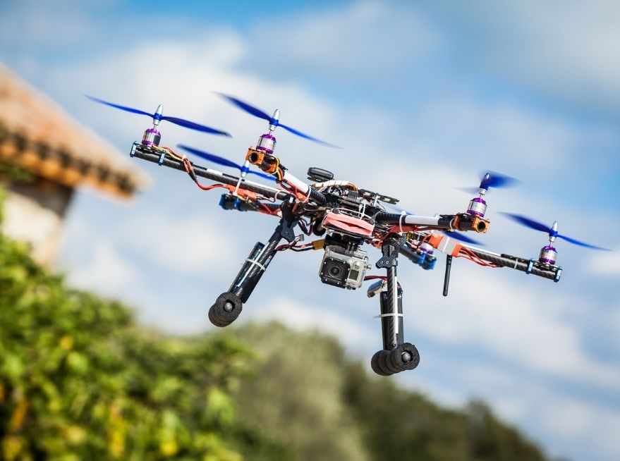
Whether you’re renting a scooter via Ha Giang motorbike rental services or traveling by bus, drone videos provide a roadmap for adventure. You can plan your trip by observing the road quality, topography, and points of interest before arrival. For solo travelers or digital nomads, this level of insight helps optimize your travel experience and safety.
The panoramic angles also allow tour operators to better showcase what’s included in their Ha Giang Tour packages. Many choose to embed or link to Ha Giang Loop drone footage on their websites or social media pages, increasing interest and engagement from potential travelers.
Travelers using Ha Giang Bus Tickets from Hanoi or Sapa often watch drone previews to decide whether the long journey is worth it—and it always is.
Strawberry House and the Vision from Above
At Strawberry House, we believe that the journey is just as important as the destination. That’s why we collaborate with top drone videographers to capture the most stunning Ha Giang Cao Bang drone footage possible. Our goal is to inspire your travel and help you visualize the magic before you even pack your bags.
From dramatic cloud inversions above Dong Van to the layered rice fields near Meo Vac, our videos are crafted not just as promotional content but as artistic tributes to northern Vietnam. We also partner with trusted Ha Giang motorbike rental providers and local guides to ensure that what you see on video is truly what you can experience in person.
Frequently Asked Questions (FAQs)
Q1: Is it legal to fly drones in Ha Giang and Cao Bang?
A1: While recreational drone use is permitted in rural areas, flying drones near military zones or without prior permission in protected sites is not allowed. It’s best to consult local guides or use services that already have licensed drone operators.
Q2: Can I take a drone tour as part of a Ha Giang Tour package?
A2: Yes, some premium Ha Giang Tour providers offer drone filming as part of their custom itineraries. It’s a great way to capture your motorbike journey or group adventure from a unique aerial angle.
Q3: How does drone footage help me plan my Tour Ha Giang – Cao Bang – Ban Gioc?
A3: Watching high-quality drone videos helps you better understand the landscape, weather conditions, and road quality, making it easier to choose routes, stops, and durations for your journey.
The Future of Aerial Tourism in Vietnam
As drone technology becomes more accessible and advanced, the potential for immersive storytelling through aerial visuals expands. Ha Giang Cao Bang drone footage is just the beginning. In the near future, expect 360-degree drone views, interactive virtual reality tours, and real-time live feeds from tour guides.
At Strawberry House, we’re committed to being at the forefront of this evolution. We aim to bring Vietnam’s northern treasures closer to the world, one frame at a time. Whether you’re planning a solo backpacking adventure, a romantic getaway, or a guided group experience, our videos will help you make informed, inspired travel decisions.
Plan Your Journey with Strawberry House
With our curated drone footage, travel tips, and partnerships with local operators, Strawberry House is your trusted source for discovering the best of Ha Giang and Cao Bang. Explore our videos, book your ride, and start your dream adventure in Vietnam’s northern frontier.
Find out more about Ha Giang Cao Bang video collections on the Strawberry House YouTube channel and plan your unforgettable journey today.
STRAWBERRY HOUSE
Address: SN 209, 20/8 Street, Ha Giang City, Ha Giang Province.
Phone: +84 838285888


